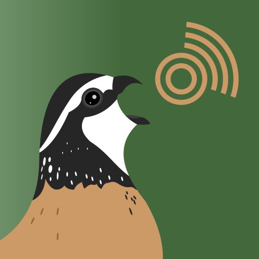
Features CoveyCall
Covey Call was designed by researchers at Tall Timbers, PERDIX and Texas Tech Quail.
It uses the PerdixPro platform to design and implement surveys for bobwhites or other birds.
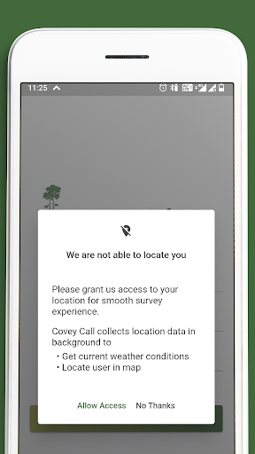
Users can place survey grids or points to facilitate surveys and share geo-referenced locations for participants.
Results can be viewed as raw estimates of density although post-processing incorporates users prediction functions of calling rate and detection functions.Bobwhite coveys and other birds vocalize at dawn and dusk and provide an opportunity to estimate their density.
Researchers have documented the calling rate of some species, like northern bobwhite.
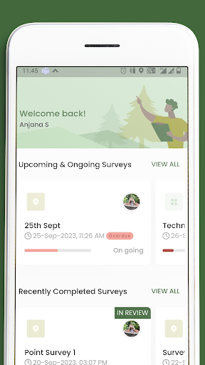
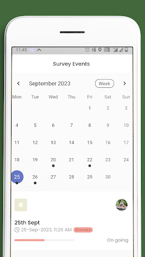
Powered by PerdixPro, Covey Call has been developed to design and implement surveys to estimate density of northern bobwhite or other birds in groups of 1 or more.User options include: Point count or grid counts - customize grid size and drag to a designated location.Group size - average group size or enter size for each group encountered.User-defined calling rate functions - Utilizing published calling rate functions, but users can update with custom data.User-defined distance sampling functions - Choose distance band number and width, and provide custom detectability within each band.Communicate via text or email locations of survey points or grid observation points to survey participants along with time of survey.
No more pre-flagging locations in the field.
System will provide navigation suggestions to arrive at survey points.During surveys participants can identify locations of coveys (groups) and enter their location.
Locations can be edited or deleted as more information is gathered during the survey.
For grids, one participant will have the master map that shows coveys identified by all participants.
Group size can then be entered, or an average used.
The master map will then be used to generate a raw density estimate, or later for post-processing to include observability features.
Post-processing incorporates users prediction functions of calling rate and detection functions for greater precision, and variables such as weather and group sizes.
Final maps and data summaries are easily shareable.
Social Features
Connect and share with friends and the community.
Weather Features
Get accurate weather forecasts and real-time updates.
Food & Dining
Discover recipes and order food from your favorite restaurants.
See the CoveyCall in Action
Get the App Today
Available for Android 8.0 and above